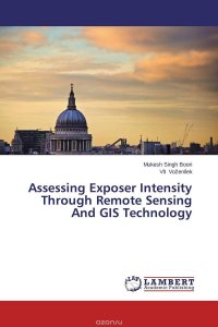
Vulnerability index, exposer intensity and landscape trajectories is an area of research that integrates people and their activities into natural environment. This type of research is important in natural disaster areas on the globe. The main objective of this type of research is to develop a vulnerability index by combining remote sensing, bio-geophysical and social data. In general, vulnerability is expressed as a function of the exposure, sensitivity and adaptive capacity of a region to natural disasters and climate change effects. Vulnerability research ensures that decisions made about our natural resources incorporate a range of values and perspectives about the meaning, value and use of resources. Presently scientists bring an interest in human values, markets, social organizations and political institutions to the traditional focus of natural science on climate, social and hydrology. It is a reality that natural disasters (such as drought and floods) results in sets of... Это и многое другое вы найдете в книге Assessing Exposer Intensity Through Remote Sensing And GIS Technology (Mukesh Singh Boori and Vit Vozenilek)
Assessing Exposer Intensity Through Remote Sensing And GIS Technology Mukesh Singh Boori and Vit Vozenilek (книга)
Подробная информация о книге «Assessing Exposer Intensity Through Remote Sensing And GIS Technology Mukesh Singh Boori and Vit Vozenilek». Сайт не предоставляет возможности читать онлайн или скачать бесплатно книгу «Assessing Exposer Intensity Through Remote Sensing And GIS Technology Mukesh Singh Boori and Vit Vozenilek»


