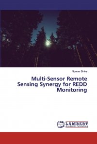
United Nations Framework Convention on Climate Change aims in developing strategies to reduce emissions from deforestation and forest degradation (REDD). Remote sensing is a fundamental tool in monitoring forests for REDD/REDD+ on diverse spatial and temporal scales for various REDD/REDD+ related biophysical parameters; like deforestation, reforestation and afforestation, forest degradation, biomass and biomass burning, carbon stock and footprint. Synergies of multiple remote sensing data sources, including optical and Synthetic Aperture Radar (SAR) are used in the study. The book provides integrated multi-sensor optical and SAR remote sensing expertize to the development of new forest inventory methods. Ground measurements and airborne data are practically impossible for this purpose because of their cost. Spaceborne optical satellite data has certain limitations that can be overcome by using SAR data. The study establishes the availability, potential and limitations of different remote sensing data sources for REDD/REDD+ forest monitoring and to provide recommendations on how to improve the role of remote sensing for implementing REDD/REDD+ MRV systems. Это и многое другое вы найдете в книге Multi-Sensor Remote Sensing Synergy for REDD Monitoring (Suman Sinha)
Multi-Sensor Remote Sensing Synergy for REDD Monitoring Suman Sinha
Подробная информация о книге «Multi-Sensor Remote Sensing Synergy for REDD Monitoring Suman Sinha». Сайт не предоставляет возможности читать онлайн или скачать бесплатно книгу «Multi-Sensor Remote Sensing Synergy for REDD Monitoring Suman Sinha»
